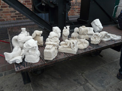
To read more about the festival, visit the Cat's Eye Carving website at www.catseyecarving.co.uk
|
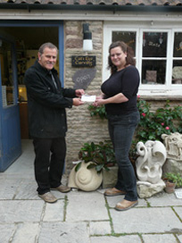
Carrie handing the cheque over to Pete at
|
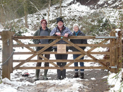
Geowardens John Moseley, Liz Moseley & Nigel Stokes at the newly-installed gate to Huntley Geological Reserve |
A new gate has recently been installed at the reserve in Huntley. Designed to allow people of restricted mobility to view the reserve, the gate was funded by The Gloucestershire Environmental Trust Co. Anyone wishing to have the gate unlocked should contact the Trust on 01452 864438 or email claire@glosgeotrust.org.uk
|
|
13th Annual General Meeting (AGM) The 13th Gloucestershire Geology Trust AGM will be held on All members are welcome to attend, but please do let us know if you intend to come. NEW TRUSTEES NEEDED! We are very keen to recruit some new Trustees to the Board. Minutes of the 2011 AGM can be downloaded HERE.
|
||
Merlin Energy Resources Fund Conservation and Education Project
Merlin Energy Resources Ltd have kindly made a significant contribution to GGT in order for us to carry out conservation work on a series of important geodiversity sits across the county. Once conservation work has been carried out, we will then produce a set of Key Stage 2 educational resources for each site, which can be downloaded directly from the website. Once Merlin and ourselves have decided on which sites are to be conserved, we will be looking for volunteers for conservation days to carry out the work. We will email members and post requests for volunteers on this page
|
||
To help raise funds for Gloucestershire Geology Trust go to
|
||
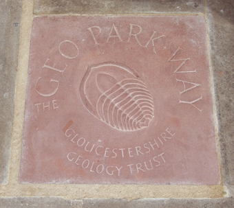
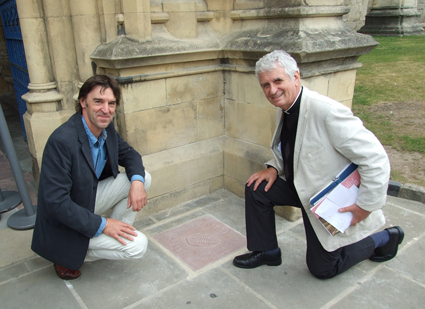
A New Addition to Gloucester Cathedral A new piece of artwork to mark the southern endpoint of The Geopark Way was unveiled outside the
The stone, from the Brownstones Formation,was donated by Wilderness Quarry and carved by one of the The inclusion of this sculpture in the actual fabric of the Cathedral is very significant; it means that the Trust and
|
||
|
||


| Gloucestershire Geoconservation Trust. Registered Charity Number: 1115272. © 2024 All Rights Reserved. |